1 N.Mi. Above Entrance Tides & Fishing Times
Tides
1 N.Mi. Above Entrance tide chart key:
The tide chart above shows the times and heights of high tide and low tide for 1 N.Mi. Above Entrance, as well as solunar period times (represented by fish icons). The red line highlights the current time and estimated height.| Day | Time | Tide | Height | |
|---|---|---|---|---|
| 28 Tue | ▲ High | 6.53 ft | ||
| 29 Wed | ▼ Low | 0.49 ft | ||
| 29 Wed | ▲ High | 5.47 ft | ||
| 29 Wed | ▼ Low | 0.65 ft | ||
| 29 Wed | ▲ High | 6.51 ft | ||
| 30 Thu | ▼ Low | 0.48 ft |
Wednesday, July 29, 2026 11:48 PM: The tide is currently falling at 1 N.Mi. Above Entrance with a current estimated height of 6.5 ft. The last tide was High at 11:46 PM and the next tide is a Low of 0.48 ft at 6:17 AM. The tidal range today is approximately 6.02 ft with a minimum tide of 0.49 ft and maximum tide of 6.51 ft.
Solunars & Sun/Moon Times
Buoy Weather
Note: Observations are from a weather buoy 9.52 miles from the prediction site. Observations are not available at all prediction sites, and observation types vary between sites.
More details: Station sjsn4 Buoy Weather
Next 7 Days
| Day | 1st Tide | 2nd Tide | 3rd Tide | 4th Tide | ☀ Sun |
Major Solunars
|
Minor Solunars
|
|
|---|---|---|---|---|---|---|---|---|
| 29 Wed |
|
▼ 0.49 ft |
▲ 5.47 ft |
▼ 0.65 ft |
▲ 6.51 ft |
▲ 5:59 AM ▼ 8:17 PM |
11:52 PM → 1:52 AM 12:10 PM → 2:10 PM |
5:15 AM → 6:15 AM 8:05 PM → 9:05 PM |
| 30 Thu |
|
▼ 0.48 ft |
▲ 5.53 ft |
▼ 0.65 ft |
▲ 6:00 AM ▼ 8:16 PM |
12:38 AM → 2:38 AM 12:55 PM → 2:55 PM |
6:19 AM → 7:19 AM 8:32 PM → 9:32 PM |
|
| 31 Fri |
|
▲ 6.48 ft |
▼ 0.49 ft |
▲ 5.62 ft |
▼ 0.67 ft |
▲ 6:01 AM ▼ 8:15 PM |
1:23 AM → 3:23 AM 1:39 PM → 3:39 PM |
7:23 AM → 8:23 AM 8:55 PM → 9:55 PM |
| 1 Sat |
|
▲ 6.45 ft |
▼ 0.5 ft |
▲ 5.78 ft |
▼ 0.72 ft |
▲ 6:02 AM ▼ 8:14 PM |
2:06 AM → 4:06 AM 2:22 PM → 4:22 PM |
8:27 AM → 9:27 AM 9:17 PM → 10:17 PM |
| 2 Sun |
|
▲ 6.4 ft |
▼ 0.51 ft |
▲ 5.98 ft |
▼ 0.8 ft |
▲ 6:03 AM ▼ 8:13 PM |
2:49 AM → 4:49 AM 3:05 PM → 5:05 PM |
9:31 AM → 10:31 AM 9:40 PM → 10:40 PM |
| 3 Mon |
|
▲ 6.32 ft |
▼ 0.51 ft |
▲ 6.18 ft |
▼ 0.92 ft |
▲ 6:03 AM ▼ 8:12 PM |
3:33 AM → 5:33 AM 3:49 PM → 5:49 PM |
10:36 AM → 11:36 AM 10:03 PM → 11:03 PM |
| 4 Tue |
|
▲ 6.16 ft |
▼ 0.53 ft |
▲ 6.34 ft |
▼ 1.06 ft |
▲ 6:04 AM ▼ 8:11 PM |
4:18 AM → 6:18 AM 4:37 PM → 6:37 PM |
11:44 AM → 12:44 PM 10:30 PM → 11:30 PM |
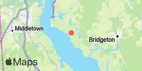
Location & Map
Nearby
Note: Tide predictions are an estimate and NOT FOR NAVIGATION.
We also offer free widgets if you want to add tide or solunar tables to your own site.