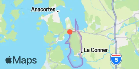
Turner Bay, Washington — Tide predictions for Saturday, October 30, 2027. Local times: UTC−07:00. Heights in ft relative to MLLW.
Tide
Time
Height
High tide
11.04′
Low tide
5.78′
High tide
10.28′
Weather & marine conditions
Saturday, October 30, 2027
Forecast unavailable for this selection.
Atmospheric pressure
Pressure forecasts are currently unavailable for this date.
Sun & moon
Moon phase
Waxing Crescent2% illuminated
Sun & moon
Sunrise
Sunset
Moonrise
Moonset
7-day fishing planner
Daily ratings, all major and minor fishing periods, and tide times and heights.
Fishing planner for Turner Bay. Local times
Day
Rating / 100
Major Fishing Times
Minor Fishing Times
1st Tide
2nd Tide
3rd Tide
4th Tide
91
12:27 AM - 2:27 AM
12:54 PM - 2:54 PM
9:08 AM - 10:08 AM
5:32 PM - 6:32 PM
▲ 11.04 ft
▼ 5.78 ft
▲ 10.28 ft
—
84
1:21 AM - 3:21 AM
1:49 PM - 3:49 PM
10:21 AM - 11:21 AM
6:13 PM - 7:13 PM
▼ -1.89 ft
▲ 11.14 ft
▼ 6.4 ft
▲ 9.9 ft
74
2:16 AM - 4:16 AM
2:44 PM - 4:44 PM
11:24 AM - 12:24 PM
7:03 PM - 8:03 PM
▼ -1.66 ft
▲ 11 ft
▼ 6.88 ft
▲ 9.44 ft
63
3:11 AM - 5:11 AM
3:38 PM - 5:38 PM
12:16 PM - 1:16 PM
8:02 PM - 9:02 PM
▼ -1.16 ft
▲ 10.72 ft
▼ 7.2 ft
▲ 8.91 ft
53
4:03 AM - 6:03 AM
4:29 PM - 6:29 PM
12:56 PM - 1:56 PM
9:07 PM - 10:07 PM
▼ -0.5 ft
▲ 10.38 ft
▼ 7.29 ft
▲ 8.33 ft
39
4:53 AM - 6:53 AM
5:17 PM - 7:17 PM
1:26 PM - 2:26 PM
10:15 PM - 11:15 PM
▼ 0.25 ft
▲ 10.09 ft
▼ 7.09 ft
▲ 7.67 ft
22
5:40 AM - 7:40 AM
6:02 PM - 8:02 PM
1:50 PM - 2:50 PM
11:23 PM - 12:23 AM
▼ 1.02 ft
▲ 9.9 ft
▼ 6.58 ft
▲ 6.96 ft
About the fishing rating
The rating provides a general outlook for potential fish activity based on solunar conditions. It does not include weather, water conditions, species, or local fishing reports. A higher rating is not a guarantee of a catch.
Tide heights are predictions, not measurements. Wind, air pressure, storms, and river flow can cause actual water levels to differ. Not for navigation.
Tide prediction source:
Tide predictions: NOAA Center for Operational Oceanographic Products and Services (CO-OPS). Official source Vertical datum:
MLLW — Mean Lower Low Water
 Waxing Crescent
2% illuminated