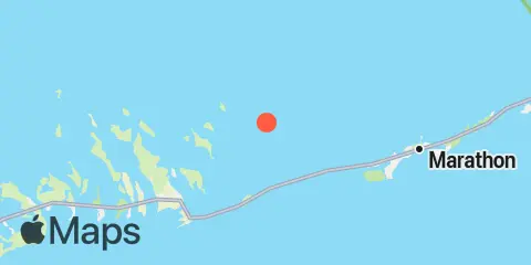
Cocoanut Key Map
Latitude
24° 44' 42" N (24.745)
Longitude
81° 14' 12" W (-81.2367)
State
County
Nearby
Tides
2.2 mi
East Bahia Honda Key, South End, Florida Bay
3.3 mi
West Bahia Honda Key
3.3 mi
Horseshoe Keys, South End
4.0 mi
Johnson Keys, South End
4.4 mi
Little Duck Key, east end, Hawk Channel
4.4 mi
Money Key
4.5 mi
Missouri Key-Little Duck Key Channel
4.7 mi
Little Pine Key, South End
5.0 mi
Missouri Key-Ohio Key Channel, west side
5.1 mi
Molasses Key Channel, Molasses Keys
5.3 mi
Ohio Key-Bahia Honda Key Channel, west side
5.6 mi
Johnson Keys, North End
5.7 mi
Pigeon Key, north side, Florida Bay
5.8 mi
Little Pine Key, North End
5.9 mi
Pigeon Key, south side, Hawk Channel
6.1 mi
No Name Key, East Side, Bahia Honda Channel
6.6 mi
Water Key, west end, Big Spanish Channel
6.8 mi
Bahia Honda Key, Bahia Honda Channel
7.5 mi
Porpoise Key, Big Spanish Channel
7.5 mi
Knight Key Channel, Knight Key, Florida Bay
7.7 mi
Crawl Key, Big Spanish Channel
7.8 mi
Big Pine Key, Bogie Channel Bridge
7.9 mi
Mayo Key, Big Spanish Channel
8.4 mi
Big Pine Key, Doctors Arm, Bogie Channel
8.5 mi
Little Spanish Key, Spanish Banks
8.5 mi
Vaca Key, Florida Bay
8.8 mi
Boot Key Harbor bridge, Boot Key
8.9 mi
Big Pine Key, Spanish Harbor
9.5 mi
Big Pine Key, Northeast Shore
9.6 mi
Big Pine Key, Coupon Bight
9.7 mi
Annette Key, North End, Big Spanish Channel
9.8 mi
Big Pine Key, Pine Channel Bridge, North Side
9.9 mi
Big Pine Key, North End
10.0 mi
Big Pine Key, West Side, Pine Channel
10.0 mi
Big Pine Key, Pine Channel Bridge, South Side
10.8 mi
Howe Key, South End, Harbor Channel
10.8 mi
Big Pine Key, Newfound Harbor Channel
10.9 mi
Little Torch Key, Pine Channel Bridge, South Side
11.3 mi
Sombrero Key, Hawk Channel
11.4 mi
Little Torch Key, Torch Channel
11.4 mi
Big Spanish Key
11.9 mi
Middle Torch Key, Torch Ramrod Channel
12.1 mi
Howe Key, northwest end
12.4 mi
Ramrod Key, Newfound Harbor
Currents
5.3 mi
Moser Channel, between Molasses and Pigeon Keys
5.6 mi
No Name Key, northeast of
6.9 mi
Bahia Honda Harbor