Popps Ferry Tides
Unfortunately, this tide station is no longer active, and predictions are no longer accurate.
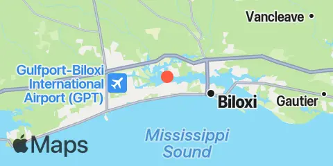
You can check out the map below -- any nearby locations will be displayed on the map and list below. Alternatively, you can browse the site for other active locations.
Location & Map
Latitude
30° 24' 48" N (30.4133)
Longitude
88° 58' 30" W (-88.975)
State
County
Nearest ZIP
39531
Nearby
Tides
3.1 mi
Handsboro Bridge, Bernard Bayou
4.3 mi
Biloxi, Biloxi Bay
4.8 mi
Turkey Creek, Bernard Bayou
6.8 mi
Deer Island
7.2 mi
Biloxi (Cadet Point), Biloxi Bay
7.4 mi
Gulfport, Gulfport Harbor
10.6 mi
Ocean Springs
12.2 mi
Hollingsworth Point, Davis Bayou
Currents
12.1 mi
Ship Island, 1.8 nm NNW of, DM 32