Unfortunately, this tide station is no longer active, and predictions are no longer accurate.
You can check out the map below -- any nearby locations will be displayed on the map and list below.
Alternatively, you can browse the site for other active locations.
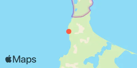
Location & Map
Latitude
63° 40' 58" N (63.68286)
Longitude
171° 45' 1" W (-171.75019)