Rockport Harbor Weekly Tide Tables and Charts
Tide Chart for Next 7 Days
Rockport Harbor weekly tide chart key:
The tide chart above shows the times and heights of high tide and low tide for Rockport Harbor, for the next seven days. The red line highlights the current time and estimated height.The tidal range at Rockport Harbor for the next seven days is approximately 9.19 ft with a minimum tide of 0.23 ft and maximum tide of 9.42 ft. You can also check out all the daily details on tides & fishing times on the Day tab for Rockport Harbor.
Tide Table for Next 7 Days
▲ Blue = High Tide
▼ Red = Low Tide
| Day | 1st Tide | 2nd Tide | 3rd Tide | 4th Tide | ☀ Sun |
Major Solunars
|
Minor Solunars
|
|
|---|---|---|---|---|---|---|---|---|
| 30 Thu |
|
▲ 9.1 ft |
▼ 0.48 ft |
▲ 7.92 ft |
▼ 1.31 ft |
▲ 5:32 AM ▼ 8:05 PM |
12:18 AM → 2:18 AM 12:34 PM → 2:34 PM |
5:51 AM → 6:51 AM 8:18 PM → 9:18 PM |
| 31 Fri |
|
▲ 9.18 ft |
▼ 0.36 ft |
▲ 8.19 ft |
▼ 1.09 ft |
▲ 5:33 AM ▼ 8:04 PM |
1:03 AM → 3:03 AM 1:18 PM → 3:18 PM |
6:58 AM → 7:58 AM 8:39 PM → 9:39 PM |
| 1 Sat |
|
▲ 9.22 ft |
▼ 0.26 ft |
▲ 8.49 ft |
▼ 0.87 ft |
▲ 5:34 AM ▼ 8:03 PM |
1:46 AM → 3:46 AM 2:01 PM → 4:01 PM |
8:04 AM → 9:04 AM 8:59 PM → 9:59 PM |
| 2 Sun |
|
▲ 9.19 ft |
▼ 0.23 ft |
▲ 8.79 ft |
▼ 0.66 ft |
▲ 5:35 AM ▼ 8:01 PM |
2:29 AM → 4:29 AM 2:44 PM → 4:44 PM |
9:11 AM → 10:11 AM 9:18 PM → 10:18 PM |
| 3 Mon |
|
▲ 9.08 ft |
▼ 0.27 ft |
▲ 9.06 ft |
▼ 0.5 ft |
▲ 5:36 AM ▼ 8:00 PM |
3:13 AM → 5:13 AM 3:29 PM → 5:29 PM |
10:19 AM → 11:19 AM 9:39 PM → 10:39 PM |
| 4 Tue |
|
▲ 8.87 ft |
▼ 0.4 ft |
▲ 9.27 ft |
▼ 0.4 ft |
▲ 5:37 AM ▼ --:-- |
3:58 AM → 5:58 AM 4:16 PM → 6:16 PM |
11:29 AM → 12:29 PM 10:03 PM → 11:03 PM |
| 5 Wed |
|
▲ 8.59 ft |
▼ 0.59 ft |
▲ 9.42 ft |
▼ 0.34 ft |
▲ 5:38 AM ▼ 7:58 PM |
4:47 AM → 6:47 AM 5:07 PM → 7:07 PM |
12:43 PM → 1:43 PM 10:32 PM → 11:32 PM |
Buoy Weather
Water Temperature
65° F
Note: Observations are from a weather buoy 9.68 miles from the prediction site. Observations are not available at all prediction sites, and observation types vary between sites.
More details: Station 44029 Buoy Weather
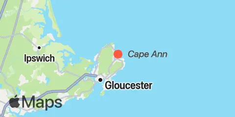
Location & Map
Latitude
42° 39' 30" N (42.6583)
Longitude
70° 36' 54" W (-70.615)
State
County
Nearest ZIP
01966
Nearby
Tides
3.1 mi
Annisquam, Lobster Cove
4.0 mi
Gloucester Harbor
8.4 mi
Essex, Essex River
9.5 mi
Plum Island Sound (South End)
Currents
3.6 mi
Annisquam Harbor Light
4.5 mi
Blynman Canal ent., Gloucester Harbor
6.1 mi
Gloucester Harbor entrance
9.4 mi
Plum Island Sound entrance
12.4 mi
Little Misery Island
Note: Tide predictions are an estimate and NOT FOR NAVIGATION.
We also offer free widgets if you want to add tide or solunar tables to your own site.