Lower Anchorage Tides
Unfortunately, this tide station is no longer active, and predictions are no longer accurate.
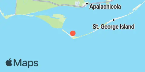
You can check out the map below -- any nearby locations will be displayed on the map and list below. Alternatively, you can browse the site for other active locations.
Location & Map
Latitude
29° 36' 0" N (29.6)
Longitude
85° 3' 0" W (-85.05)
State
County
Nearest ZIP
32328
Nearby
Tides
0.5 mi
Little St. George Island, Apalachicola Bay
3.6 mi
West Pass, Apalachicola Bay
5.6 mi
St. George Island, Sikes Cut, St. George Sound
9.6 mi
Eleven Mile, St. Vincent Sound
9.7 mi
Apalachicola, Apalachicola Bay
9.9 mi
St. George Island, 12th St. W (Bayside), St. George Sound
11.3 mi
Apalachicola River (A&N RR bridge), Apalachicola Bay
11.9 mi
Indian Pass, St. Vincent Sound
11.9 mi
Huckleberry Landing, Jackson River