Prudhoe Bay #2 Tides
Unfortunately, this tide station is no longer active, and predictions are no longer accurate.
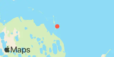
You can check out the map below -- any nearby locations will be displayed on the map and list below. Alternatively, you can browse the site for other active locations.
Location & Map
Latitude
70° 23' 18" N (70.3883)
Longitude
148° 30' 36" W (-148.51)
State
County
Nearest ZIP
99734
Nearby
Tides
1.7 mi
Prudhoe Bay