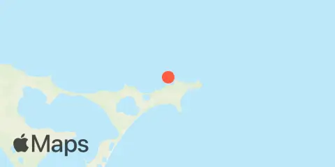
Kaingaroa - Chatham Island Tavole e grafici settimanali delle maree
Grafico delle maree per i prossimi 7 giorni
About this chart
Legenda del grafico settimanale delle maree di Kaingaroa - Chatham Island:
Il grafico sopra mostra gli orari e le altezze di alta e bassa marea per Kaingaroa - Chatham Island nei prossimi sette giorni. La linea rossa indica l'ora attuale e l'altezza stimata.L’escursione di marea a Kaingaroa - Chatham Island, dal al inclusi, è di circa 1.4 m, con un’altezza minima di 0.1 m e massima di 1.5 m. Puoi anche vedere tutti i dettagli giornalieri su maree e orari di pesca nella scheda Giorno per Kaingaroa - Chatham Island.
Tavola di marea per i prossimi 7 giorni
| Giorno | Fase lunare | 1st Marea | 2nd Marea | 3rd Marea | 4th Marea | ☀ Sole |
Orari maggiori

|
Orari minori

|
|---|---|---|---|---|---|---|---|---|
 94% |
▲ 1.2 m |
▼ 0.4 m |
▲ 1.2 m |
▼ 0.3 m |
▲ 06:24 ▼ 20:05 |
10:19 → 12:19 22:42 → 00:42 |
04:32 → 05:32 17:20 → 18:20 |
|
|
98%
|
▲ 1.2 m |
▼ 0.3 m |
▲ 1.3 m |
▲ 06:22 ▼ 20:06 |
11:06 → 13:06 |
04:53 → 05:53 18:34 → 19:34 |
||
 100% |
▼ 0.3 m |
▲ 1.3 m |
▼ 0.3 m |
▲ 1.3 m |
▲ 06:21 ▼ 20:07 |
23:31 → 01:31 11:56 → 13:56 |
05:16 → 06:16 19:52 → 20:52 |
|
 99% |
▼ 0.2 m |
▲ 1.4 m |
▼ 0.3 m |
▲ 1.3 m |
▲ 06:19 ▼ 20:09 |
00:23 → 02:23 12:51 → 14:51 |
05:44 → 06:44 21:13 → 22:13 |
|
|
96%
|
▼ 0.2 m |
▲ 1.4 m |
▼ 0.2 m |
▲ 1.4 m |
▲ 06:18 ▼ 20:10 |
01:20 → 03:20 13:51 → 15:51 |
06:20 → 07:20 22:34 → 23:34 |
|
|
90%
|
▼ 0.1 m |
▲ 1.4 m |
▼ 0.2 m |
▲ 1.4 m |
▲ 06:16 ▼ 20:11 |
02:22 → 04:22 14:54 → 16:54 |
07:06 → 08:06 | |
|
81%
|
▼ 0.1 m |
▲ 1.5 m |
▼ 0.2 m |
▲ 1.4 m |
▲ 06:15 ▼ 20:12 |
03:26 → 05:26 15:59 → 17:59 |
23:48 → 00:48 08:05 → 09:05 |
Informazioni su queste previsioni
Le altezze di marea sono previsioni, non misurazioni. Vento, pressione atmosferica, tempeste e portata dei fiumi possono causare differenze nei livelli reali dell’acqua. Non utilizzare per la navigazione.
Fonte delle previsioni delle maree:
This work includes Toitū Te Whenua Land Information New Zealand data which are licensed by Toitū Te Whenua Land Information New Zealand for re-use under the Creative Commons Attribution 4.0 International licence ( dettagli della licenza
). Heights converted from metres to feet; predictions grouped by local date. Crown copyright. Fonte ufficiale
Riferimento verticale:
CD — Chart Datum (LINZ)
Aggiungi al tuo sito un widget gratuito con le maree o gli orari di pesca per questa stazione.